-
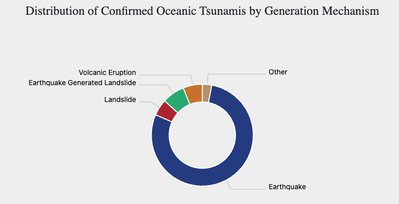
Historical Tsunami Data Dashboard
By NOAA National Centers for Environmental Information (NCEI) NCEI has launched a new tsunami data dashboard (Tsu-Dash) designed to answer frequently asked questions through dynamic…
-
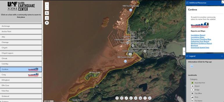
New Interactive Alaska Tsunami Hazard Map Helps Communities Prepare
By Rod Boyce, University of Alaska Fairbanks Geophysical Institute A new and interactive tsunami hazards tool created by the Alaska Earthquake Center brings evacuation information,…
-
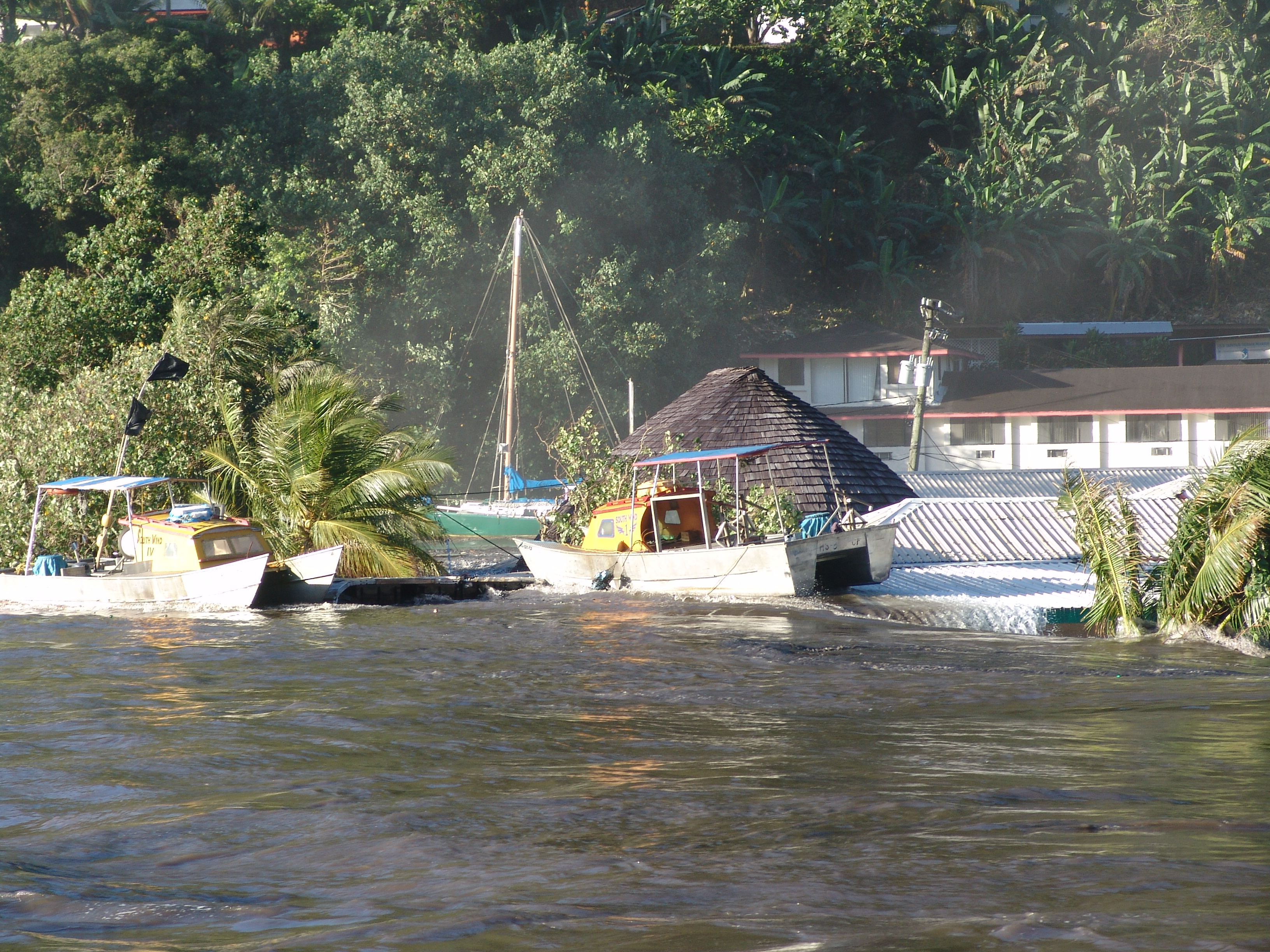
NCEI Natural Hazards Image Database Photo Feature: 2009 Samoa Islands Earthquake and Tsunami
EVENT: September 29, 2009 Samoa Islands Earthquake and Tsunami—On September 29, 2009, two large earthquakes struck midway between Samoa and American Samoa. The earthquakes generated…
-
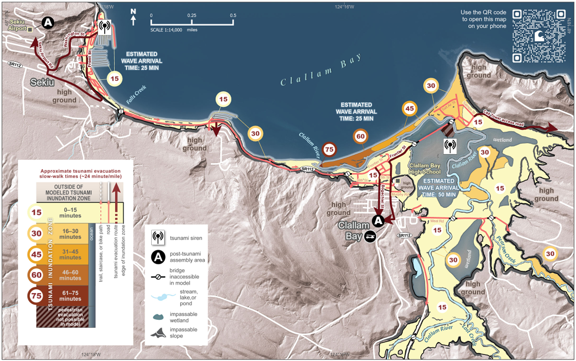
New Publication: Tsunami Evacuation Walk Time Maps for the Communities of Clallam Bay and Chinook, Washington
By The Washington Geological Survey
-
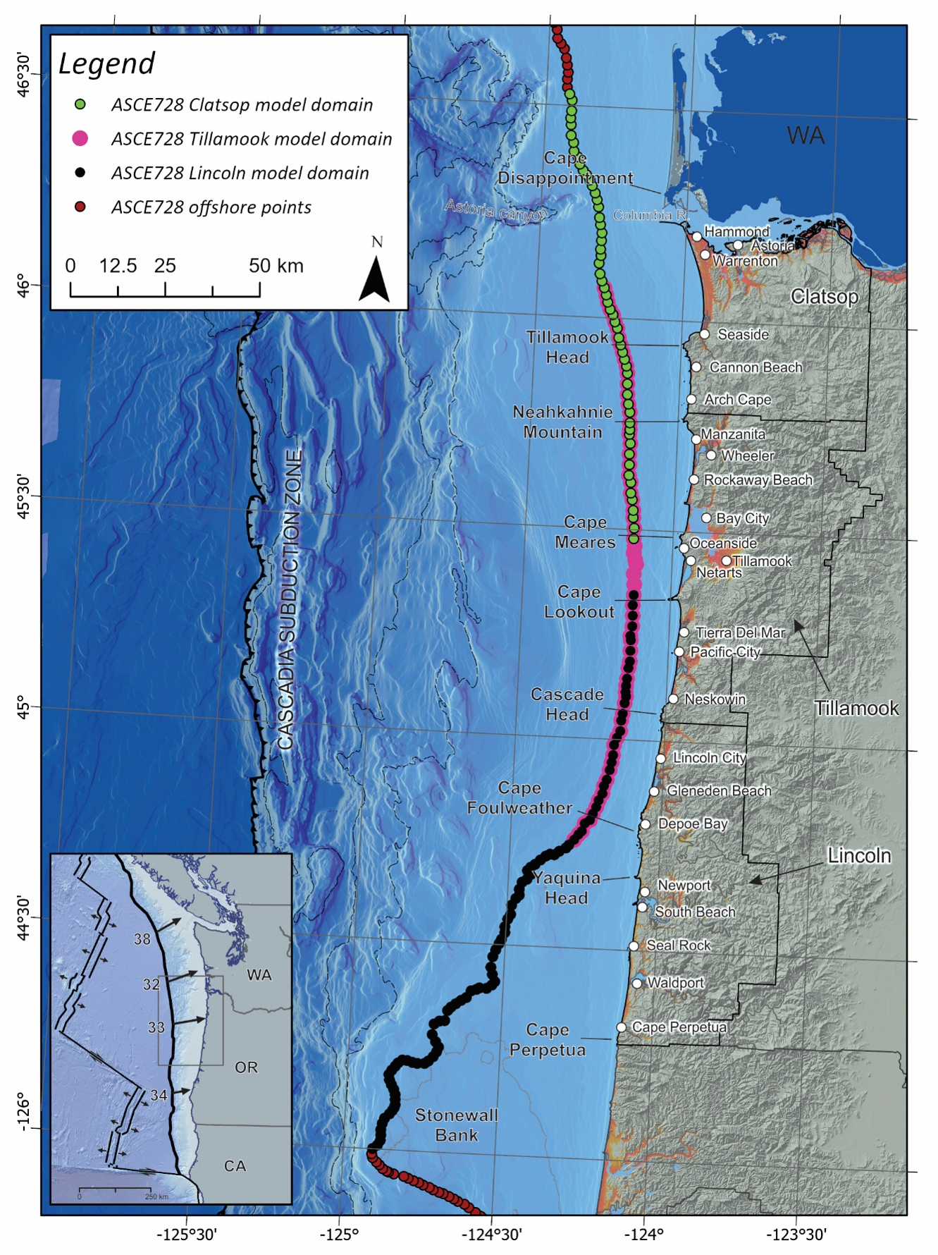
New Publication: Modeling 2,475-Year Recurrence Interval Probabilistic Tsunami Hazard for the Central to Northern Oregon Coast
By Jonathan C. Allan, Y. Joseph Zhang, Hong Kie Thio, Fletcher E. O’Brien, and George R. Priest Executive Summary The objective of this study has…
-
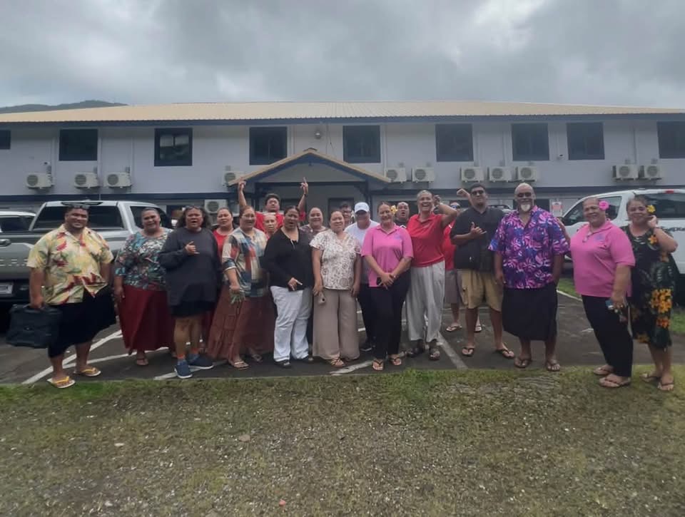
Updates from NTHMP Partners in American Samoa
By Aukusitino Steffany, Program Liaison, American Samoa Department of Homeland Security Early in September, the American Samoa Department of Homeland Security (ASDHS) Tsunami Team partnered…

TSUINFO
ALERT


TsuInfo Alert is published by the Washington State Department of Natural Resources, Washington Geological Survey on behalf of the National Tsunami Hazard Mitigation Program, a state/federal partnership funded through the National Oceanic and Atmospheric Administration (NOAA).
- November 2026 (1)
- October 2026 (9)
- September 2026 (8)
- August 2026 (3)
- June 2026 (3)
- May 2026 (2)
- April 2026 (2)

